Located on the traditional lands of the Wadawurrung, the Wurundjeri Woi-wurrung and the Bunurong Peoples, the Port Phillip and Western Port region is Victoria’s most diverse and complex natural resource management region by virtue of its location, geography, land use and population.
About the area
Covering an area of almost 13,000 square kilometres, the region extends from the You Yangs Ranges and volcanic plains in the west, across the Macedon Ranges and the Kinglake Plateau in the north, through the Yarra Valley to the foothills of the Baw Baw plateau in the east and south to the Bass Coast. The region also includes the bays of Port Phillip and Western Port, and Victoria’s two largest islands, French and Phillip Islands.
Across five different major catchment systems, the Werribee, Maribyrnong, Yarra, Dandenong and Western Port catchments, the region’s land and waterways form a complex network of interconnected and interdependent catchments, rivers, wetlands and estuaries, which flow to Port Phillip Bay and Western Port. The Port Phillip and Western Port region is rich in environmental, economic and cultural value, with a vibrant and liveable city at its heart.
Home to more than 5 million people, more than 75% of Victoria’s total population, the region encompasses the densely populated and urbanised city of Melbourne, the sprawling outer city suburbs and urban fringe, the rich rural land of the hinterlands and forested hills of the upper catchments.
Biodiversity
A vibrant hub for biodiversity and natural assets, the region is home to some of Victoria’s most iconic and recognised species including Victoria’s three faunal emblems; the Helmeted Honeyeater, the Leadbeater’s Possum and the Weedy Sea-dragon. Recognised for their diversity of waterbirds, the region also contains three internationally recognised Ramsar wetlands; Western Port, Edithvale-Seaford wetlands and approximately 30% of the Port Phillip Bay (Western Shoreline) and Bellarine Peninsula site.
The hinterlands on Melbourne’s fringe often referred to as “Melbourne’s foodbowl”, provide some of the most important productive agricultural land within Victoria, and supply enough food to meet 41% of the food needs of Greater Melbourne’s population.
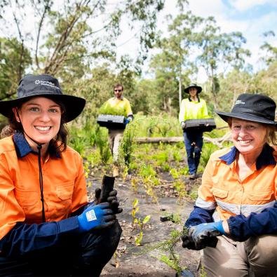
Our region is fortunate to have 87 Landcare Groups, 13 Landcare networks and well over 500 Friends groups, Committees of Management and other environmental groups working across the region, generating significant social, environmental and economic benefits through effective catchment management. Collectively, these groups contribute more than 200,000 hours per year to protect and enhance the natural environment of the region.
Our role
On 1 January 2022, the former Port Phillip and Westernport Catchment Management Authority (PPWCMA) integrated into Melbourne Water, and Melbourne Water became the new Catchment Management Authority (CMA) for the Port Phillip and Western Port region.
These new arrangements have established Melbourne Water as the single, integrated body to manage all catchment and waterways functions for the Port Phillip and Western Port region. All programs and projects that were delivered by the PPWCMA and were scheduled to continue have transitioned to Melbourne Water for delivery and are now embedded within Melbourne Water’s operations.
Melbourne Water’s key new statutory functions, powers and responsibilities as a CMA are mainly under the Catchment and Land Protection Act 1994 (CALP Act) and relate in particular to preparing and implementing a Regional Catchment Strategy (RCS), as well as promoting cooperation in the management of natural resources.
As a CMA, we are responsible for the integrated planning and coordination of land, water and biodiversity management in each catchment and land protection regions. Under the CALP Act, CMA’s role is to:
- prepare, coordinate and monitor the implementation of regional catchment strategies
- advise the minister on priorities for catchment management and on the condition of land and water resources
- promote cooperation in the management of land and water resources
- promote community awareness and understanding of the importance of land and water resources, their sustainable use, conservation and rehabilitation.
You may also like...
Victorian Landcare Grants
Landcare and environmental volunteering groups and networks can apply for government funding to protect and restore our land and natural environment.


