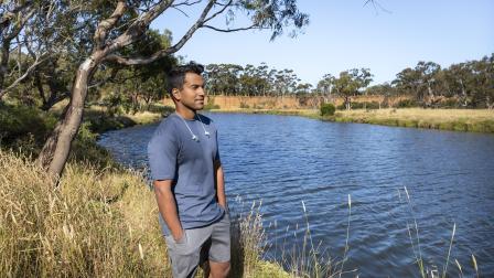
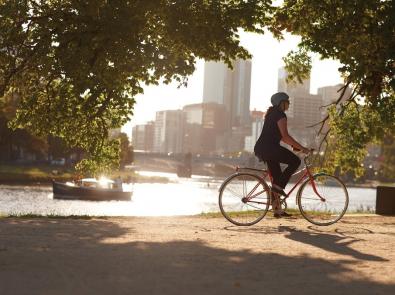
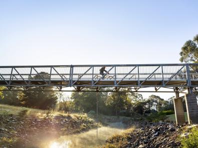
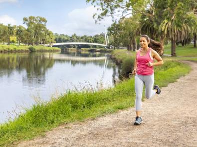
Cycle, stroll or jog along Melbourne’s rivers and creeks – the lifeblood of our city, and part of what makes living here so great.
Whether you’re looking to get outdoors, get some exercise or just get to your destination, our featured trails showcase the best of Melbourne’s backyard.
Note: Parks and paths are usually the responsibility of Parks Victoria or local councils. Please contact them with any enquiries.
Central
Capital City Trail
A popular starting point for the Capital City Trail is at Princes Bridge, near Flinders Street Station. From here it follows the Yarra River east towards Docklands or west along the Main Yarra Trail through urban bushland to Dights Falls.
The path is approximately 29 kilometres in total and circles the city. It passes through some inner eastern and northern suburbs and takes in some of Melbourne’s most recognisable attractions.
North east
Main Yarra Trail
The Main Yarra Trail starts and finishes at Southbank and leaves behind city skyscrapers for pristine urban bushland. It follows the Yarra River for 35 kilometres through Melbourne’s north-eastern suburbs to join the Mullum Mullum Creek Trail in Templestowe.
The trail runs through Yarra Bend Park, Warrigal Park, Birrarung Park and Westerfolds Park in Templestowe.
EastLink Trail
Built as part of the EastLink motorway, the EastLink Trail is Melbourne’s longest sealed pedestrian and bicycle path. It connects to existing pathways taking cyclists from Carrum right to Melbourne’s city centre through wetlands, parklands and natural bushlands.After it winds through the Mullum Mullum Valley, the trail heads south to connect with the Dandenong Creek Trail.
Merri Creek Trail
The Merri Creek Trail starts at Dights Falls in Yarra Bend Park. The trail winds along Merri Creek for approximately 21 kilometres through Melbourne’s northern suburbs to the Western Ring Road Trail. There are countless coffee and leg-stretching opportunities along the way.
These include the Abbotsford Convent precinct, Collingwood Children’s Farm and CERES community park and café.
South east
Dandenong Creek Trail
This 49-kilometre trail follows Dandenong Creek, through the outer eastern and south-eastern suburbs of Melbourne, to Port Phillip Bay at Carrum/Bonbeach. It connects to the EastLink trail at Mullum Mullum Valley.
Gardiners Creek Trail
Gardiners Creek Trail is a popular commuter path between Melbourne’s south-eastern suburbs and the city. It connects with the Main Yarra Trail or Capital City Trail at the Yarra River.
The return trip starts and finishes at Heyington train station in Toorak. It takes in some beautiful parkland as it follows Gardiners Creek for approximately 17 kilometres to Blackburn train station.
West
Maribyrnong River Trail
The Maribyrnong River Trail starts and finishes at Southbank. The 25-kilometre trail follows the Maribyrnong River. It tours through Melbourne’s inner west suburbs of Docklands, Footscray, Flemington and Moonee Ponds.
Be sure to pack a picnic to take advantage of the riverside barbecue spots.
We’ve partnered with VictoriaWalks to bring you the best walks in the west, from easy, family-friendly strolls to more adventurous day hikes. Browse our 18 walks along waterways and wetlands, and plan your next urban escape.

You may also like...
Explore your world on foot: find or create walking maps, right across Victoria.
Resources, events and tips from Australia’s biggest bike riding organisation.
Browse a list of maps, organised by council, to help select your route.
Browse a selection of urban and regional cycling trails, curated by Parks Victoria.


