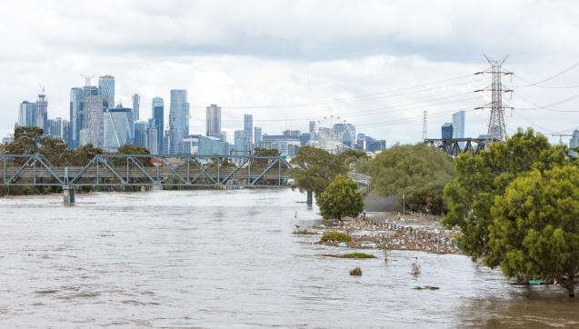
Melbourne Water released new flood modelling for the Maribyrnong River to help the community and agencies better understand flood risk across the catchment. The modelling takes into account climate change and changes in the catchment area, including urban development.
Explore information about the model and flood maps, a report on how the model was developed, and updates on the Maribyrnong River Flood review process.

